
Artist's commentary
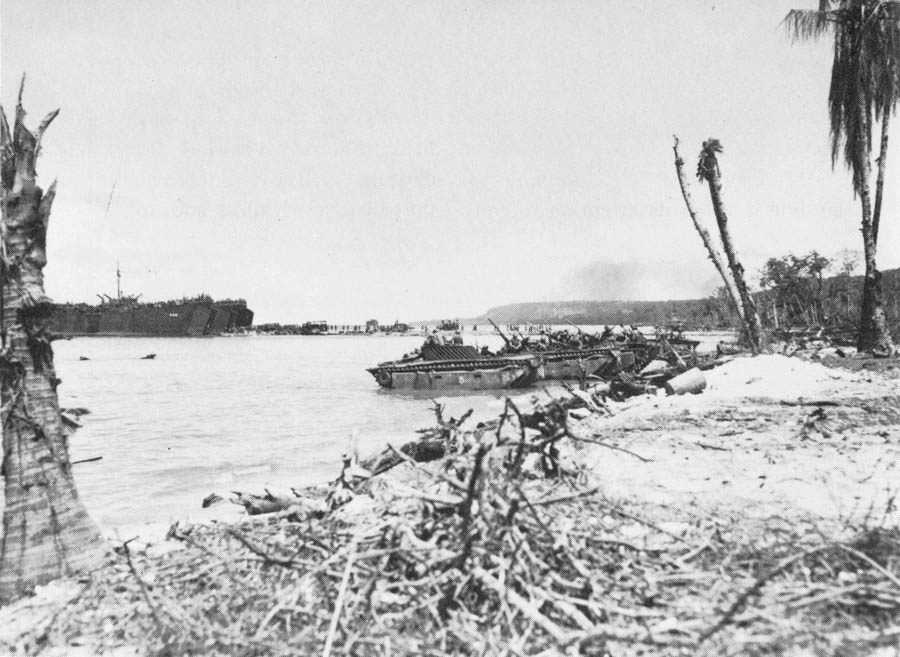
US LVTs and DUKWs unloading supplies at Biak
The Objective
Biak is shaped roughly like an old-fashioned high-topped shoe.1 (Map 13) The sole is on the south, the back of the shoe on the west, and the instep runs southeast to northwest. Off the northwest corner of Biak (and about one third its size) lies Soepiori Island. The two are separated by a small creek-like strait. Off southeastern Biak lie a number of islets, including Owi, Aoeki, Mios Woendi, and others of the Padaido Group. In May 1944 Biak's principal towns lay along its southern shore. About fourteen miles west of the southeast tip was Bosnek, prewar administrative and commercial center.
Biak was formed as the result of underwater disturbances which in prehistoric times had brought part of the ocean's floor above the surface. Much of the island is cut by broken coral terraces, ridges, and shelves which in the course of centuries acquired a thick cover of tropical rain forest and dense jungle undergrowth. There are some extensive inland flat areas at the southeastern third of the island. Little fresh water is readily available on Biak, since most of the streams run through underground channels that drain even the heaviest rainfall from the surface. The island lacks good harbors,
Leave a comment